Haydon Way Wood
This easy-to-follow walk will lead you to a wildflower meadow through to a beautiful skyline view near Windmill Hill. Look out and see the scale of the Heart of England Forest for yourself.

How to get here
The start / finish point for this walk is Haydon Way Wood car park:
Address: Spernal Lane, Nr. Studley, B80 7EX
OS Grid Ref: SP 08480 62213
What3Words: ///fame.ocean.crop
Facilities and access
This car park and woodland walking route is being provided for your enjoyment and we ask that you donate via the post in the car park or by text.
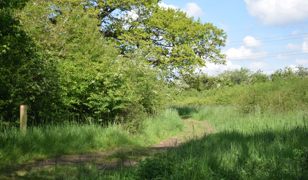
This walking route has width restricting post in place at the start of the walk. Beyond these there are no stiles, steps or gates or bridges.
Download the Haydon Way Wood walk
Haydon Way Wood Walk.pdf
(867.91 KB)
Download a wider area map to show links to other walking routes
Spernal Area Map.pdf
(3.65 MB)
Distance:
1.5 miles
Difficulty:
Easy
Start/finish:
Haydon Way Wood car park
Nearest postcode:
B80 7EX
Terrain:
Clearly marked woodland trail. Easy going - but can get muddy in the winter.
Begin walk
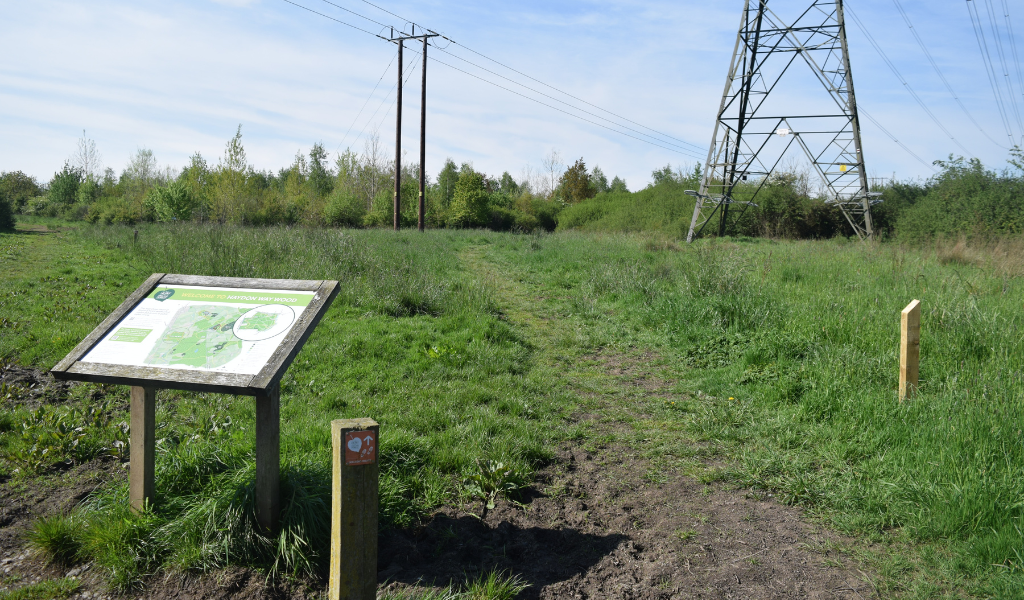
1.
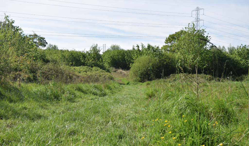
1. Head due south out of the car park. Under the second set of overhead power cables turn right and follow them to the bridge.
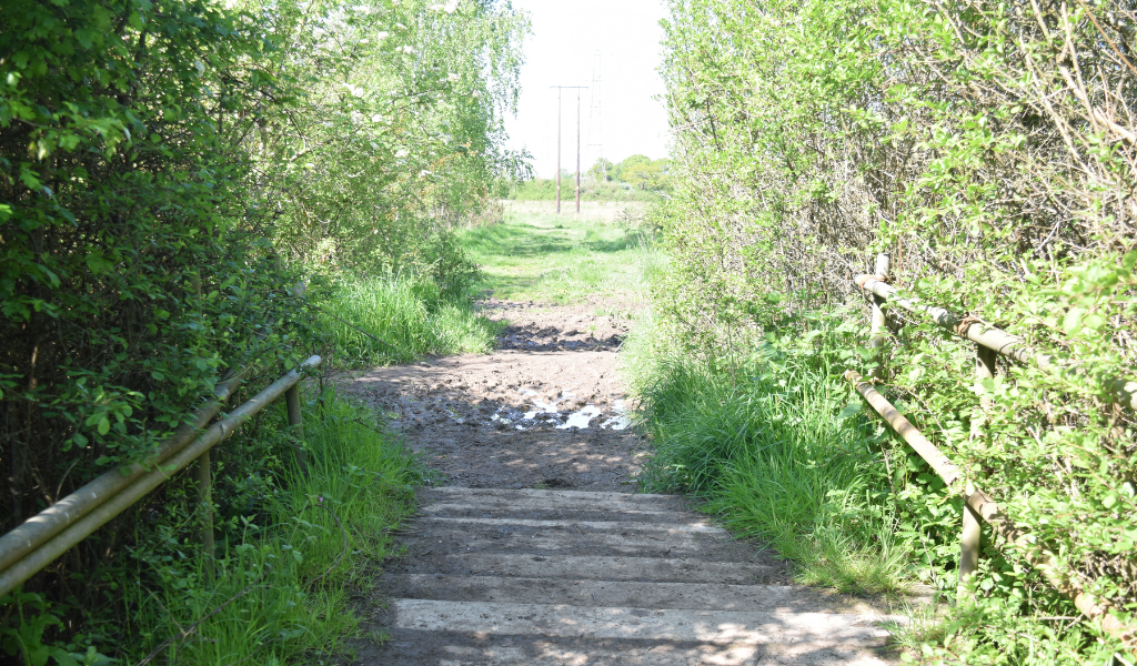
2.
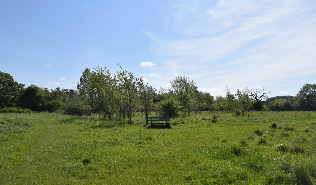
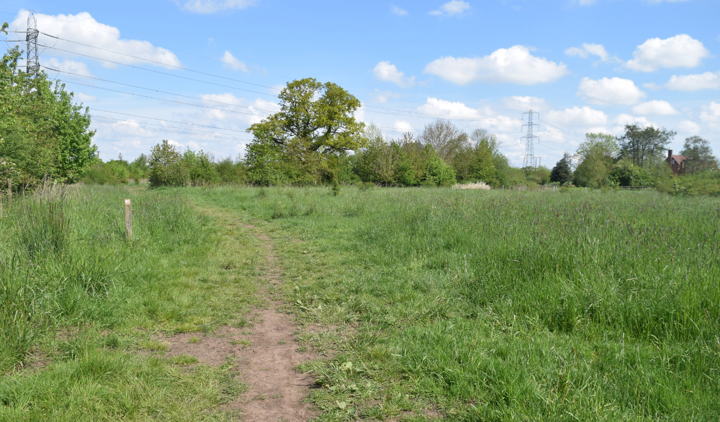
2. Cross over the bridge and continue on. The wide open area in front of you is a wild flower meadow sown in 2014. Species include birdsfoot trefoil, knapweed, yarrow, corn cockle and vetches.
3.
3. After about 100m turn right across the meadow and follow the cross ride to the north-west.
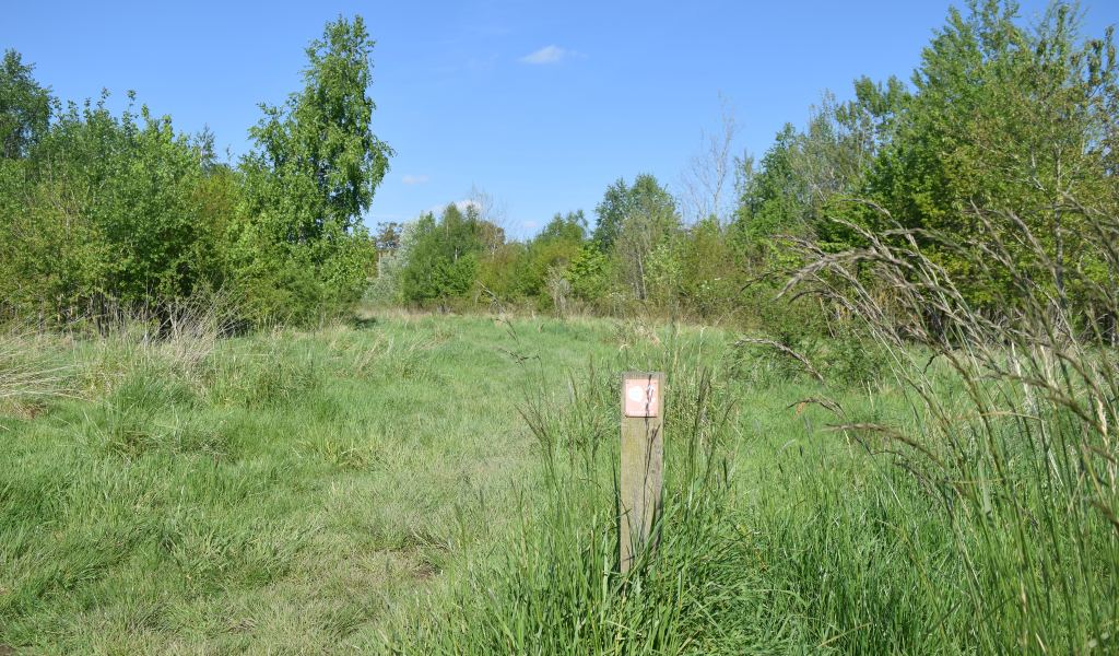
4.
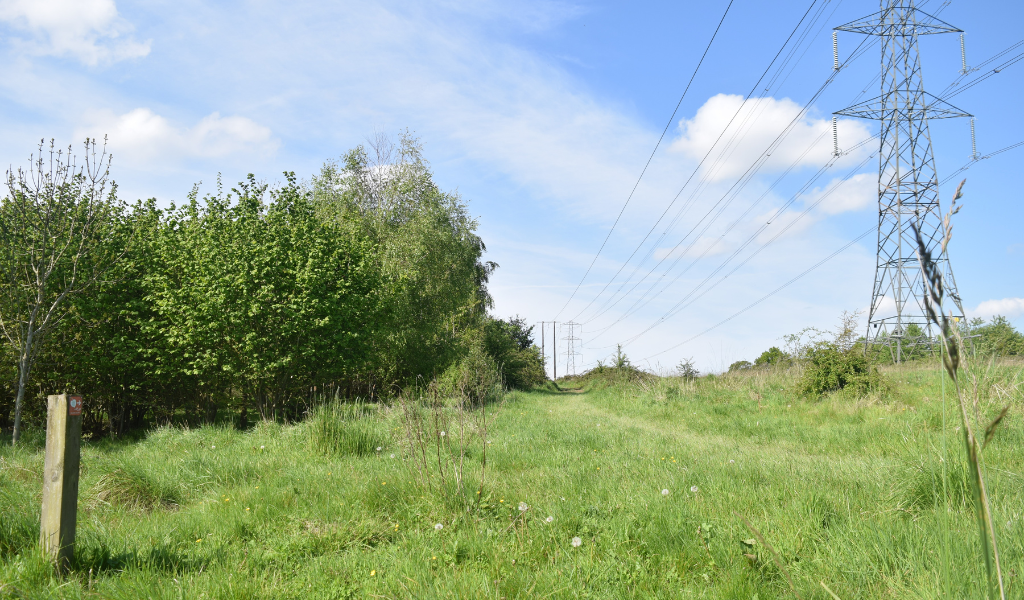
4. Go through the gap in the hedge and walk under another powerline. Continue straight on up the slope along the ride gently turning to left.
5.
5. Head down the slope and over the ditch. This field has been planted with over 6,500 hazel and will become hazel coppice cut on a 5-6 year rotation.
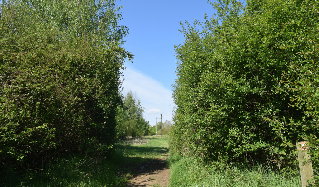
6.
6. After a short climb pass through the gap in the hedge into another open area. Continue straight on and turn right along the woodland edge for about 100m.
7.
7. At this point, take a sharp left down the slope. The view in front of you up to Windmill Hill on the skyline makes up part of the Heart of England Forest – you will be able to see the forest as it grows before you.
8.
8. Head down the slope and follow this ride below the paddock. Ignore the public footpath that crosses the ride and keep heading south with a slight rise and bend to the right. Our route now takes a sharp left turn heading across and then down the slope.
9.
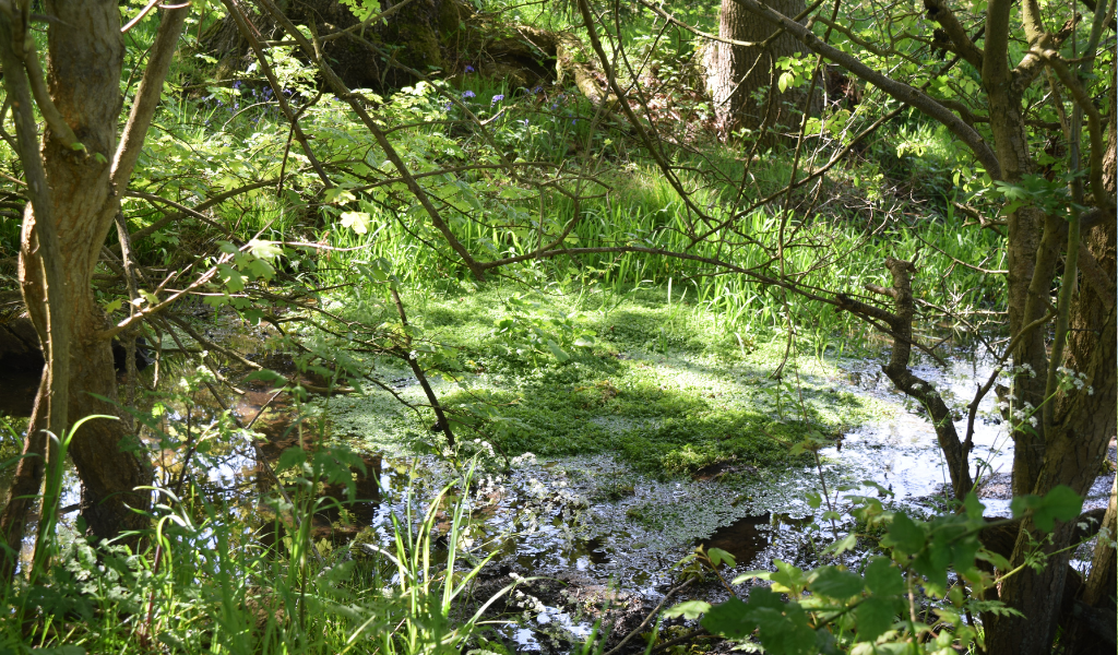
9. You will notice a natural pond on your right stood over by several oak trees.
Look out for dragonflies and frogs here!
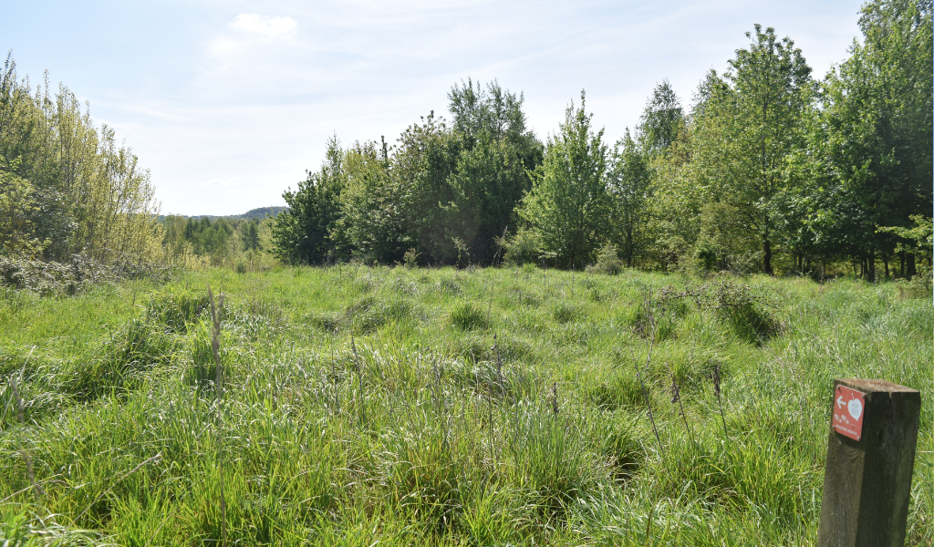
10.
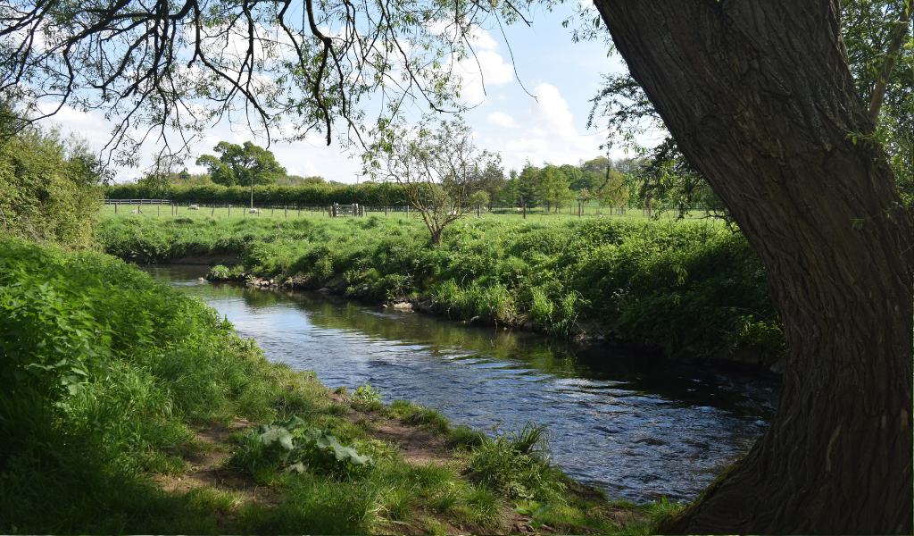
10. Head under the powerlines and follow the public footpath east through the trees, pass through the open space and fork right at the waymarker post. With the wider open space on your right drop down through the hedge towards the River Arrow.
11.
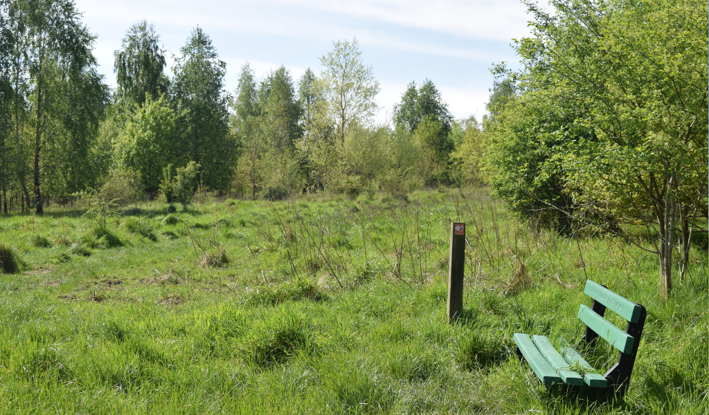
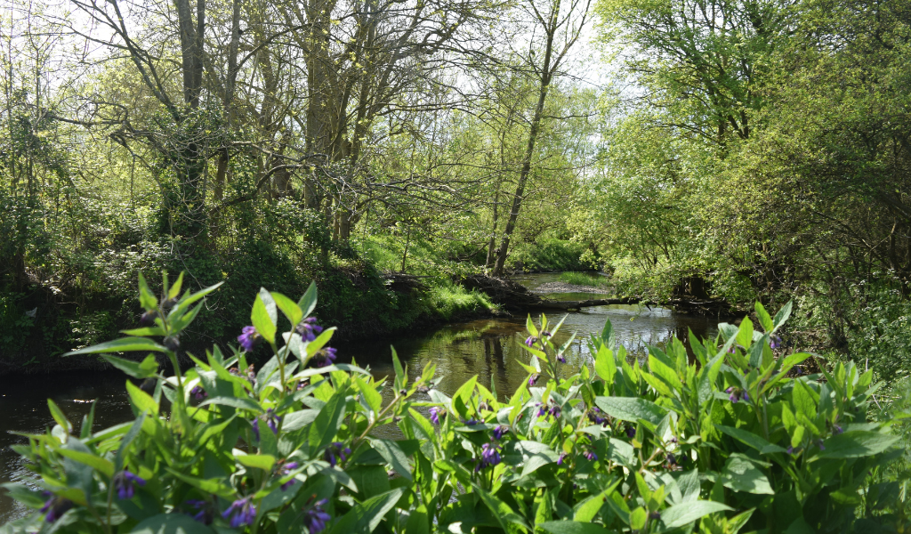
11. Heading left (upstream) along the river there are opportunities to stop here and contemplate for a while. This is a super spot for a picnic.
You might spot a kingfisher here!
12.
12. Keep heading north with the woodland on your left and river on the right, crossing the public footpath again.
13.
13. Head away from the river towards a large oak tree, which is on the boundary of two parishes and was once on the river edge. You are now walking on the parish boundary along the old river bank.

The course of the river was altered in the early 1900’s, as to why we are not quite sure but maybe to remove an oxbow lake.
14.
14. Turn right just past the oak and head north to the car park.
End! Well done
Thank you to volunteer Nicky for contributing these wonderful woodland walk photos.